Minkiani Pass Trek Guide: The "Dark Knight" of the Dhauladhars
📍The Mighty Himalayas (North India)
The Summit Summary
- Location: Himachal Pradesh (Kangra District, near Dharamshala).
- The Vibe: A "Vertical Stairway." This trek is the aggressive big brother of the Kareri Lake trek. While most stop at the serene lake, Minkiani Pass demands you push further up a steep, jagged rock face to stand on the Dhauladhar ridgeline. It feels less like a hike and more like scrambling up the spine of the mountain.
- Difficulty: Moderate to Difficult. The trek to Kareri Lake is moderate, but the final push from the lake to the pass involves a sharp ascent over loose rocks and boulders (moraine) which is physically draining.
- Duration & Variants: 4-5 Days (Standard Itinerary). 32 km Total Distance.
- TrippinAI Recommended Slot: May to June (for snow thrills) or September to October (for clear views of the Pir Panjal range).
- The TrippinAI Rating: "At TrippinAI, we rate this trek a 7/10 on endurance (due to the relentless steep gradient from Kareri Lake to the pass at 14,000 ft)."
The Climb: What to Expect
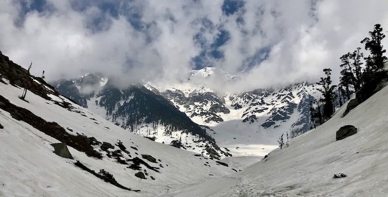
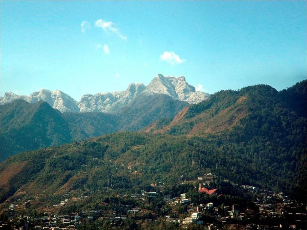
The Reality Check: The journey is a tale of two halves. The first two days are a rhythmic climb alongside the Nyund Nallah, passing through cool forests of Oak and Rhododendron to reach the beautiful Kareri Lake. This part is soothing. Day 3 flips the script. You leave the comfort of the lakeside meadow and assault the ridge directly. The trail vanishes into a field of boulders. You navigate steep inclines, often needing to use your hands for balance. Reaching Minkiani Pass (14,000 ft) feels like standing on a knife-edge; looking north, you see the holy Manimahesh Kailash peak and the Chamba valley; looking south, the Kangra valley lies spread out like a map.
Why It's Famous & What Trekkers Say
The Fame Check:
- The "Seven Lakes" Gateway: Minkiani Pass is the traditional gateway used by Gaddi shepherds to access the Lam Dal (Long Lake) and six other glacial lakes hidden on the Chamba side of the range.
- The "Petroglyph" Mystery: The pass area has ancient rock carvings (petroglyphs) depicting hunting scenes, believed to be centuries old, adding a layer of history to the adventure.
The Social Pulse:
- The Good (What Trekkers Love): The Kareri Lake campsite is universally loved. The sense of achievement at the pass is higher than Triund because it's wilder and quieter.
- The Bad (What Trekkers Hate): The descent. Coming down from the pass back to the lake is notoriously hard on the knees due to loose scree (gravel). Many find it slippery and dangerous without good boots.
The Trail: Milestones & Route Map
The Route Breakdown:
- Kareri Village: Start Point (5,900 ft). The Highlight: The trailhead. You leave civilization behind and enter the Nyund valley.
- Reoti: Day 1 Camp (8,000 ft). The Highlight: The riverside camp. The roaring river drowns out all other sounds.
- Kareri Lake: Base Camp (9,620 ft). The Highlight: The oval glacial lake. This serves as the launchpad for the summit push.
- Minkiani Pass: Summit Day (14,000 ft).The Highlight: The ridge view. On a clear day, you can see the Pir Panjal range glowing white in the distance.
How to Reach (The Gateway Hubs)
The Navigation Breakdown:
- State: Himachal Pradesh.
- Gateway Hub: Dharamshala / McLeod Ganj.
- Start Point: Kareri Village or Ghera (27 km from Dharamshala).
- By Air: Fly to Gaggal Airport (Kangra).
- By Bus: Volvo from Delhi to Dharamshala (Overnight).
The TrippinAI Verdict:
- Most Cost Efficient: Bus to Dharamshala. Local Bus to Ghera (~INR 50). Shared Jeep to Kareri Village.
- Most Time Efficient: Fly to Gaggal + Taxi directly to Kareri Village (~INR 2,000).
- Most Popular: Most trekkers hire a taxi from McLeod Ganj bus stand to Kareri Village.
Total Budget & Hidden Costs
The Wallet Damage:
- TrippinAI Budget Rating: Mid-Range.
- Permits: No Official Permit Fee (usually).
- Trek Package: Expect INR 6,000 - 9,000 per person for a 4-5 day trip.
- Transport: Budget extra INR 2,000 for the round-trip taxi if not sharing.
Smart Spending Hacks:
- Hack #1: Base Camp at the Lake. Instead of paying for a full-service package for 5 days, hike to Kareri Lake DIY (stay in the temple serai or rent a tent there) and hire a guide only for the pass day. Save INR 3,000.
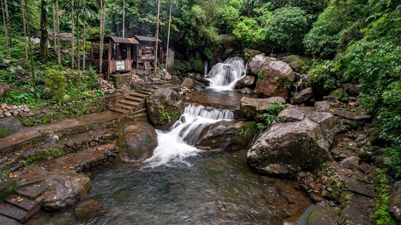
- Hack #2: Eat at the Shack. There is a small shack at Kareri Lake run by locals. Eating Maggi/Dal-Chawal there is cheaper than carrying a full kitchen setup.
- "Use TrippinAI for more accurate and personalized information on costs."
Food & Local Legends
Context:
- The Flavor: The food is basic mountain fare. Carry Energy Bars for the summit day as there are no shops between the lake and the pass.
- Local Insight: The pass is named after the goddess Minkiani Devi. Shepherds offer flowers here to ensure the safety of their flock as they cross into Chamba. The weather at the pass is said to turn bad if one shouts loudly.
Seasonality, Safety & Health
Best Time to Visit:
- May-June: Good snow at the pass, making the climb scenic (but slippery).
- September-October: The rocks are dry, offering better grip for the steep ascent.
- Avoid: Monsoon (July-August). The rocks become mossy and treacherous. Winter is closed due to heavy snow.
Traveler Safety Verdict:
- For Solo Travelers: Moderate Risk. The trail to the lake is safe, but the trail to the pass is unmarked and confusing in fog. Join a group for the pass day.
- For Female Travelers: High Safety. The region is safe, but avoid trekking alone on the pass section.
- For Beginners: No. Do Kareri Lake only. Attempt the pass only if you have good fitness and hiking shoes with ankle support.
Risks & Actionable Mitigation:
- Loose Rocks (Scree): The final 1 km to the pass is a scramble. Mitigation: Helmet (Optional) & Poles. If there are groups above you, rocks can fall. Keep distance. Trekking poles are mandatory for balance.
- Sudden Fog: The Dhauladhars get clouded over by 1 PM. Mitigation: Alpine Start. Start the summit push at 5 AM. Be back at the lake by 1 PM.
- "Check TrippinAI for real-time weather updates."
Getting Trek-Ready
Preparation Tips:
- Boulder Hopping: The trail involves walking on big rocks. Practice balance exercises.
- Cold Tolerance: The pass is windy and freezing even in June. Carry a Windcheater.
- Knees: The descent is brutal. Do Wall Sits to strengthen quads.
Expedition Essentials
- Footwear: Stiff-soled Trekking Boots. Flexible sneakers will hurt your feet on the sharp rocks.
- The "Hero" Item: Gaiters. Useful if trekking in May/June to keep snow out of your boots.
- Clothing: Gloves. You might need to use your hands to climb rocks; gloves protect against cuts.
FAQ: Trekker's Most Asked Questions
Q: Is it harder than Indrahar Pass? A: Comparable. Both are steep ridge crossings in the same range. Minkiani is slightly less crowded, making the trail less defined (and thus trickier navigation-wise).
Q: Can I descend to Chamba? A: Yes, you can cross Minkiani Pass and descend to Lam Dal and then Drakund. This requires 3-4 extra days and full camping logistics.
Q: Is there mobile network? A: Zero signal after Reoti. Inform family before leaving Kareri Village.
Planning Minkiani Pass? Sudden storms can turn the pass into a whiteout zone in minutes. Static blogs won't give you the forecast. TrippinAI provides real-time summit weather alerts. [Check Summit Weather Now.]
Recommended for You
Namdapha Rainforest Trek Guide: The "Amazon of India" & The Four Cat Realm
Japfu Peak Trek Guide: The "Rhododendron Giant" & Valley Watchtower